


10,9 km | 12,1 km-effort


Benutzer


Kostenlosegpshiking-Anwendung
 SityTrail
IGN / Geografische Institute
SityTrail World
Die Welt öffnet sich für Sie
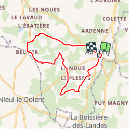
Tour Mountainbike von 13,5 km verfügbar auf Pays de la Loire, Vendée, Aubigny-Les Clouzeaux. Diese Tour wird von tracegps vorgeschlagen.
Plusieurs curiosités : sentier botanique, fontaine de Bel Air, Bourrine de la Joustière, Eglise romane...
Wandern
Mountainbike
Wandern
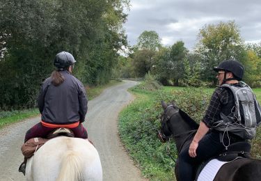
Reiten

Zu Fuß
Zu Fuß

Wandern

Pferd
Wandern